Mobile GIS and Mapping Applications with Leaflet

  • Overview
  • Curriculum
  • Instructor
  • Review

About This Course

Take your applications outside, with or without connectivity

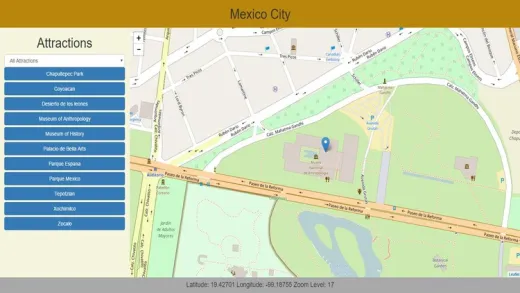
This course is focused on designing web-based mapping applications for mobile devices. I start with an example of a desktop app showing the course of a trail ultramaraton with aid stations, elevation profiles, etc. Then we modify some formatting to deal with issues arising from small screens, add the ability to track the user automatically with the devices GPS, and add the ability to use it off-line in all situations.

  • Students will learn to format web mapping applications to deal with small screens, touch screens, and screens of varying sizes. They will also learn how to take advantage of the GPS sensor on mobile devices, store data on board, create an application cache so the application can be loaded off-line, and create custom base maps that can be used off-line.

Instructor

Profile photo of Michael Miller
Michael Miller

I have been programming and working with database applications for over 30 years, and specializing in geospatial applications for over 20 years.  I am a believer in the 80/20 pareto principle which suggests that you only need to understand 20% of a subject in order to do 80% of your work. My goal in all my courses is to teach...

Review
4.9 course rating
4K ratings
ui-avatar of Francisco Daniel Belda Reig
Francisco D. B. R.
5.0
1 year ago

Once again, thank you so much for all you have been, Mike!
God bless you!

  • Helpful
  • Not helpful
ui-avatar of Claude Mushid
Claude M.
4.5
2 years ago

I will give stars when I will let more !

  • Helpful
  • Not helpful
ui-avatar of Ditmeyer Kori
Ditmeyer K.
5.0
5 years ago

Thanks for sharing this knowledge, very good teacher and content!!!

  • Helpful
  • Not helpful
ui-avatar of JBR Lalhlenchhuaka
Jbr L.
4.0
5 years ago

Very useful and practical. But the material is a little bit thin. Should add more on the development of mobile apps.

  • Helpful
  • Not helpful
ui-avatar of Gaurav Kumar
Gaurav K.
4.5
5 years ago

No comments, till now

  • Helpful
  • Not helpful
ui-avatar of Desislav Petrov
Desislav P.
5.0
5 years ago

Great course! Michael Miller is a great lecturer. I have watched three of his courses already and all of them were useful for me.

  • Helpful
  • Not helpful
ui-avatar of Jack Cook
Jack C.
4.0
5 years ago

I have been interested in creating interactive GIS maps for web and mobile. So far It has been particularly useful, and the resources have come in very handy, I am using a mac without problem.

  • Helpful
  • Not helpful
ui-avatar of Luca Delai
Luca D.
4.5
6 years ago

Very interesting and concise course.

  • Helpful
  • Not helpful
ui-avatar of Kelly McGee
Kelly M.
2.5
6 years ago

The course sections are good, but the author tends to bounce around the example code too much and refers to code that has not been created in this course. If some code is going to be referenced in this course but is created in another course at least take the time to explain it rather than just mention it (example - processPosition in geolocation part 2).

  • Helpful
  • Not helpful
ui-avatar of Juan Zuniga
Juan Z.
5.0
7 years ago

Solid course. It really helped me understand how to deal with both the limitations and use the additional features of mobile platforms

  • Helpful
  • Not helpful
Leave A Reply

Your email address will not be published. Required fields are marked *

Ratings

Courses You May Like

Lorem ipsum dolor sit amet elit
Show More Courses