Brief Summary
This course guides you through making your own Map Books in ArcGIS Pro, perfect for beginners! You’ll learn step-by-step how to set up everything from layers to dynamic elements.
Key Points
-
Create dynamic Map Books using ArcGIS Pro
-
Export maps to multi-page PDFs
-
Utilize Index Layer and Page Definition Queries
-
Add dynamic titles, legends, and more
Learning Outcomes
-
Understand Map Series functionality in ArcGIS Pro
-
Successfully export multi-page PDFs from your maps
-
Implement dynamic elements that change with each map page
About This Course
Gain practical experience in ArcGIS Pro by making Map Books using Map Series functionality
To create Map Books, ArcGIS Pro uses its Map Series functionality that has evolved from ArcMap's Data Driven Pages.
In this course of 5 videos, which is suitable for English-speaking students from anywhere in the world, you will:
Enable Map Series pages and configure them using an Index Layer.
Export Map Pages to multi-page PDF files.
Insert Dynamic Overview Maps, Index Maps, Titles, Legends and Page Numbers, which update appropriately for each page of your Map Book.
Use Page Definition Queries to include/exclude data from other layers, that relates to the feature that defines the current page.
Use the Grid Index Features tool to create a rectangular grid Index Layer.
Plus much more.
Before commencing this course you should:
check that you have suitable versions of any software required for this course, and
download any required data
Checking your version of ArcGIS Pro
This particular course was recorded using ArcGIS Pro at version 1.4 and it should also work at any later versions.
The PolyGeo channel of YouTube has a video that describes how to check your ArcGIS Pro version.
Downloading Natural Earth data
This course uses up to four shapefiles which can be downloaded from Natural Earth:
ne_10m_admin_0_countries.shp (Countries - polygons)
ne_10m_admin_1_states_provinces.shp (States and Provinces - polygons)
ne_10m_populated_places.shp (Populated Places - points)
ne_10m_railroads.shp (Railroads - lines)
In the lesson videos these will be found in the C:\polygeo folder, so it is recommended that you place them there too.
The PolyGeo channel of YouTube has a video that describes how to download the Natural Earth data.
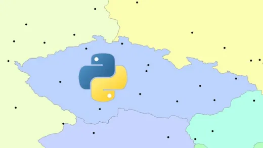
Configure Map Series using irregular polygons such as country boundaries
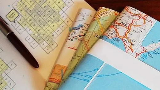
Configure Map Series using rectangular polygons generated as a grid index
Include dynamic elements such as overview and index maps, titles, page numbers and legends


Ravi N.
I like the simplicity of the presentation.