Brief Summary
This course teaches you how to build data pipelines using ESRI technologies, focusing on Geodatabases and Shapefiles. You'll learn to use Python for managing data updates efficiently in an Enterprise Geodatabase, ensuring your information is always current.
Key Points
-
Basics of Geodatabases and Shapefiles
-
Building data pipelines with Python
-
Batch processing of data for real-time updates
-
Utilizing ArcToolbox for Geodatabases
-
Focus on Enterprise Geodatabases
Learning Outcomes
-
Understand the structure of Geodatabases and Shapefiles
-
Create data pipelines using Arcpy and Python
-
Implement batch processing to update data regularly
-
Utilize ArcToolbox for effective Geodatabase management
-
Recognize the key differences between Geodatabases and hosted servers
About This Course
Learn how to work with Enterprise Geodatabases
Are you interested in learning how to build data pipelines using ESRI technologies? If so this free course is for You.
About the Course:
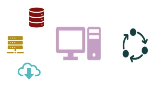
In this course we will start with basics of Geodatabases and Shapefiles. We will also learn how to build data pipelines (theory and sample script) that can be utilized to populate database tables and/or update existing data in an Enterprise Geodatabase. Skeleton script sample has been provided as a starting point to enable the student to understand how such a data pipeline can be built using Python. This pipeline once built can be run periodically on a schedule to perform batch processing of data every day or even every 5-10 minutes. This approach allows for near real time update of data. Changes to the data are reflected on the services published via ArcGIS Servers and made available to clients. The services published to the ArcGIS Server are independent of the updates to the data in the Geodatabase.
Information on important considerations for working with Geodatabases has also been provided. We will also look at how ArcToolbox can be utilized to work with Geodatabases.
It is important to note, we will not cover publishing or updating Hosted Servers which make use of the black box hosted data store. The focus of this course is on Enterprise Geodatabases. If your architecture includes an Enterprise Geodatabase then this course will be of particular interest. However developing data pipeline using Arcpy or ArcGIS API for Python may be adopted for Hosted Server.


Samar I.
good